Learn to Capture. Learn to Build.
Hands-on training in 3D spatial capture, drone survey, and AI-powered visualisation. Tailored to your team, your equipment, and your actual use cases.
Book a Free CallBuilt Around Your Work
Generic courses teach you how to pass a test. They don't teach you how to capture a heritage building for a condition survey, or how to produce a fly-through that sells an event space.
Our training is built around the work you actually need to do. We start with your use cases, your equipment, and your team's existing skill level. Then we design a programme that gets your people producing real output, not just ticking certification boxes.
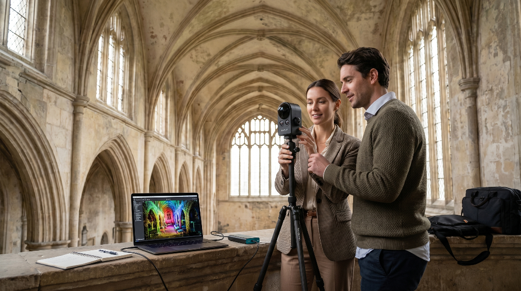
Whether you're training one person or a team of ten, every session is practical. Hands on the kit. Feet on the site. Real data processed into real deliverables by the end of the day.
What We Cover
Every programme is tailored, but these are the building blocks.
Drone Capture
Flight planning, camera settings, overlap patterns, and capture techniques for different site types. Covers both photogrammetry and video-based workflows.
3D Spatial Scanning
Ground-level capture using LiDAR, PortalCam, or photogrammetry. How to plan a scan, what to capture, and how to avoid the mistakes that ruin post-processing.
Data Processing
Turning raw capture data into usable 3D models. Covers DJI Terra, Polycam, and other processing tools depending on your pipeline.
Fly-Through Production
Creating cinematic camera paths through 3D models. Composition, pacing, and export settings that produce professional results.
AI Visualisation
Using generative AI to modify captured spaces. Showing alternative layouts, configurations, and visual treatments grounded in real spatial data.
Regulation & Compliance
CAA rules, flight permissions, site risk assessment, and operational procedures. Practical guidance for commercial drone operations in the UK.
How It Works
Scoping Call
We talk through your team's experience, your equipment, and what you need them to be able to do. This shapes the programme.
Programme Design
We build a training plan around your specific use cases. Not a generic syllabus. If you capture heritage sites, we train on heritage workflows. If you sell event spaces, we train on that.
Delivery
Training is delivered on site or at a suitable location. It's hands-on from the start. Your team captures real data on real sites using their own equipment.
Follow-Up
After the session, your team gets reference materials and access to follow-up support. We want the training to stick, not fade after a week.
Who This Is For
Surveying & AEC Teams
Building an in-house drone survey or 3D scanning capability. We train your team on the full capture-to-deliverable pipeline so they can run projects independently.
Marketing & Sales Teams
Learning to produce spatial content for property listings, venue sales, or client presentations. Focused on the output that drives commercial results.
Heritage & Conservation Officers
Developing capability for condition recording, digital surveys, and 3D documentation. Practical training on capture methods that work for historic buildings and sites.
Your Trainer
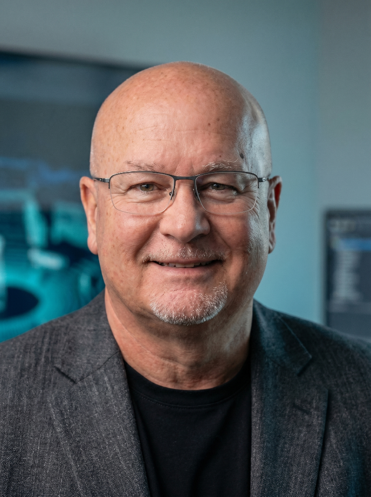
I've been working with spatial capture technology for years, and in commercial technology for over 40. My background includes running billion-pound sales operations at Dell, which means I understand both the technical side and the business case for building these capabilities in-house.
I work daily with 3DGS, LiDAR, drone capture, and generative AI tools. The training comes from hands-on production experience, not a textbook.
I hold a CAA A2 Certificate and GVC, and I'm a Gold Member of the Drone Safe Register.